GPS DATA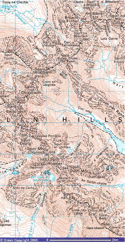
Unfortunately I lost the
track data for this walk. However, you can download waypoints for the ridge,
that I produced, based on Harvey's 1:12 500 map and on actual trackpoint
data from previous walks. The format is a self extracting zip file containng
the data in a tab separated text file. This can be loaded into Excel or GPS
software. I use GPS Utility which is
provide as a freeware version upgradeable for $40 to the full version. It
allows you to overlay tracks onto maps that you download from Ordnance Survey
or scan into your computer. Waypoints can be produced by clicking on the
map and then these can be downloaded to your GPS
Download waypoints (18KB)
Image produced from the Ordnance Survey Get-a-map service. Image reproduced
with kind permission of Ordnance
Survey and Ordnance Survey of Northern
Ireland.